
Find Your Davis Neighbors by Parcel
A block lookup uses several layers. The Davis County GIS viewer supplies geometry and a parcel detail panel. The Recorder ties parcels to deeds and plats. The Assessor and Treasurer add value, exemptions, tax unit, delinquency, and mailing-versus-situs context. Utah voter data can show standard registration fields. Libraries and city files add dated or historical clues, while community pages identify public organizations rather than private members.
| Source | What It Shows About a Block | Access |
|---|---|---|
| Davis GIS adjacent parcels | Geometry, parcel IDs, legal descriptions, owner panel, tax link | Free county viewer |
| Property Search / tax roll | Owner, mailing and situs, value, tax-unit or delinquency context | Free application |
| Recorder plats and deeds | Lot, block, subdivision relationships and transfers | Search, counter, copies |
| Utah voter standard data | Registered name, address, status, districts, vote history | Official data route |
| City files and Clipper | Dated projects, notices, historic occupants or events | Municipal office or library |
An adjoining-parcel owner is not automatically an occupant or the only person connected with the address. The mailing address may belong to an agent, business, trust, or owner elsewhere. Treat a voter match as a registration clue, a permit name as a project role, and a Clipper notice as a dated historical lead.
Note: Record the parcel ID and access date before moving from one block layer to another.
Map Davis Neighbors Around an Address
Begin with the target address in the Davis Property Search application. Type the address plus city, select the suggestion, let the map mark the parcel, and zoom until parcel lines appear. Click the target, then each adjoining parcel. The detail panel confirms Parcel ID, Legal Description, ownership information, and a Tax Information link. The county instructions confirm click and search behavior, but they do not confirm a radius or buffer tool.
- Write the target’s address, parcel ID, legal description, postal city, municipality, and access date.
- Click each parcel that touches the target and record its ID, situs, owner panel, legal description, and tax link.
- Compare the mailing address and situs. A mailing field is not proof that the owner lives at the parcel.
- Check the Recorder’s plat or deed when parcel lines are unclear, then move to the street workflow for a full named road.
The Davis street directory page is the better route when the task expands from the immediate block to a whole street and its deed chain.
Davis Neighbors and Community Lists
Davis Links is a county directory for local programs. It supports keyword and ZIP searches, and its listings are updated through trusted partners. It is not a resident or HOA roll. Individual cities may publish planning areas, historic districts, neighborhood councils, or civic contacts. The Utah Division of Arts and Museums lists local institutions such as the Farmington Historical Museum, Heritage Museum of Layton, Bountiful Museum and Learning Center, and Hill Aerospace Museum.
HOA governance and contact records may be held by the association or Utah Commerce resources, but no countywide member roster was located. Congregations, block clubs, schools, and alumni groups may maintain private lists. Use their public contact pages for an organization question, never infer that a member list is public or complete.
The map makes the block visible, but the person fields still need a Recorder or Assessor check. A parcel boundary is not a household boundary.
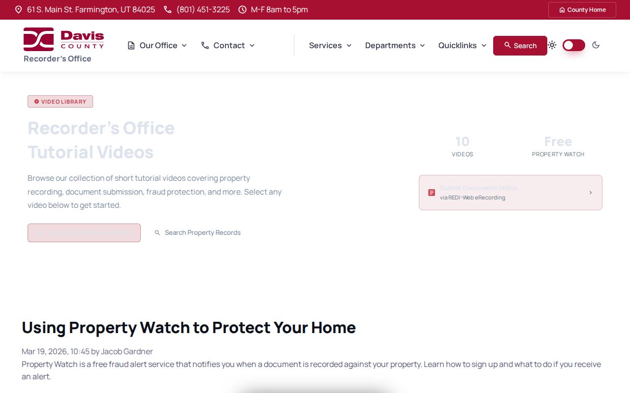
Property Watch is an alert, not a neighbor directory. It helps a parcel owner notice a recorded document and verify it through the Recorder’s official contact route.
Davis Neighbors Across Postal Lines
Neighbors can share a road but have different postal and legal fields. ZIP 84015 serves Clearfield, Clinton, Sunset, and West Point. ZIP 84037 links Kaysville and Fruit Heights, and ZIP 84087 links Woods Cross and West Bountiful. South Weber’s 84405 postal association uses Ogden and crosses the Davis/Weber context. Keep the postal city, legal city, county, situs, and parcel ID as separate notes.
Utah ZIP polygons are approximate. The state GIS page records an April 2022 Davis boundary improvement, but a polygon is not a final parcel ruling. Resolve a block mismatch in the county map and then verify delivery with the postal service.
Privacy Boundaries for Davis Neighbors
A neighbor search cannot show every household member, visitor, utility customer, or delivery recipient. Voter records withhold full birth date, ID numbers, signature, phone, and email, and at-risk records can be withheld. Utah Safe at Home gives eligible survivors a substitute address and protects the actual location. A failed match may mean protection or a record gap.
Lawful use. A block lookup is for personal, lawful research and civic context. Do not use public parcel or voter clues to stalk, harass, threaten, or intimidate anyone. Utah Code Title 76, Chapter 5 and §76-5-106.5 frame the safety limits.
Davis Neighbors Mapped by Plat
When the map does not make adjacency clear, use a Recorder ownership plat, dedication plat, subdivision description, or deed legal description. Lot and block language can show which parcels touch even when one parcel has no street number. A large parcel can contain several buildings, while a condominium or association parcel may not reveal each household. Carry the Parcel ID and legal description into the Recorder search before deciding that two map shapes represent the same address.
The county GIS instructions confirm address and parcel search, parcel selection, ownership details, and a Tax Information link. They do not confirm a buffer, radius, multi-select, or named zoning layer. Do not describe an unconfirmed map control as if it were available. Click outward by parcel, then use plats for the legal bridge.
Davis Neighbors in Voter Data
Utah standard voter data can describe a registered name, residential and mailing address, county, age range, party or unaffiliated status, precinct, districts, active or inactive status, update date, and vote history. It can help explain a block’s electoral geography. It does not guarantee that every nearby address has a visible voter, and vote history shows participation rather than ballot choice.
Full birth date, driver-license and state-ID numbers, Social Security number, signature, phone, and email are protected. At-risk records can be withheld. A public data request is governed by Utah Code §§20A-2-601 through 607, and a failed match is not proof that no person lives at the address.
Davis Neighbors and Permit Dates
City permit and code files can show that work, inspection, or a complaint occurred at a nearby address. Farmington Community Development handles permits, zoning, inspections, and code enforcement. Bountiful accepts written code complaints and typically gives ordinary matters two weeks for compliance, with urgent matters generally given one week. These details describe a city process, not a block-wide people list.
Use the municipal office that governs the parcel and ask for an existing address-indexed record. Preserve the applicant, contractor, owner representative, and complainant roles. An applicant may be a builder or architect. A complaint may name a reporting person. Neither role proves residence.
Davis Neighbors: Official Versus Compiled
Official records identify a custodian, purpose, date, and access rule. Compiled people-finder tools may combine public-record extracts, address history, marketing data, and licensed or user-submitted material. Compiled results can merge names, retain a past address, omit protected records, or use a different update date. They are not a substitute for a Davis parcel card, voter record, court docket, vital index, or certified copy.
| Source type | Strength | Limit |
|---|---|---|
| County GIS / Recorder | Parcel, legal description, recorded interests | Owner is not every occupant |
| Voter data | Public registration and district fields | Protected and at-risk records withheld |
| Library / Clipper | Dated history and community notices | Historical coverage and wording vary |
| Compiled search tool | May suggest a next lead | Source, date, and accuracy can be unclear |
Davis Neighbors as Blocks Change
A block can shift from farm tract to subdivision, or from one city jurisdiction to another, while the current street label stays familiar. Davis Recorder history, plats, Sanborn sheets, Clipper notices, and city permit files can mark those changes. The February 1917 Bountiful Sanborn map shows building footprints and street context, but no names. Use it with the parcel legal description, not as a resident list.
The county’s narrow corridor brings postal, school, water, fire, sewer, municipal, and county lines close together. ZIP 84015 covers Clearfield, Clinton, Sunset, and West Point, while 84037 connects Kaysville and Fruit Heights. A neighbor’s postal city may therefore differ from the legal city and county in the parcel record.
Request a Davis Neighbors Record
When a city permit, code file, plat, or older record is not online, name the custodian and describe an existing record under Utah GRAMA. Give the address, parcel ID, legal description, date range, case number, or document number. Do not ask an office to create a list of all neighbors. The normal response is no later than ten business days, and actual duplication or staff costs may apply under Utah Code §63G-2-203.
A denial should identify the withheld record or portion, cite the legal basis, and describe appeal rights under §§63G-2-401 through 404. Property questions go to the Recorder, Assessor, or Treasurer by field. Voter questions go to Elections. Court and vital questions go to their separate custodians. This routing keeps the block lookup accurate and lawful.
Keep a Davis Neighbors Worksheet
For each parcel, record the address, Parcel ID, legal description, owner field, mailing field, postal city and ZIP, municipality, source link, record date, and date accessed. Add a role label to each person. This simple worksheet lets a reader compare GIS, Recorder, voter, permit, Clipper, and civic records without treating them as one database.
Do not publish protected addresses or treat a failed match as proof that a person is absent. Safe at Home participants may appear through a substitute address, and at-risk voter records are withheld. The most useful neighbor research respects those limits while still showing how public parcel geography works.