
Map the Davis ZIP Code Directory
Davis-facing county and state lists identify a core set of postal areas, but the lists do not match perfectly. The table keeps the primary Davis place association separate from the post office label. ZIP boundaries are approximate polygons, and the state GIS page records a Davis boundary improvement in April 2022. Check the exact address before treating a ZIP as a city or county boundary.
| ZIP Code | Areas Covered | Post Office | Notes |
|---|---|---|---|
| 84010 | Bountiful and West Bountiful addresses | Bountiful | Postal and city lines differ |
| 84014 | Centerville | Centerville | Standard delivery area |
| 84015 | Clearfield, Clinton, Sunset, West Point | Clearfield | Shared by several municipalities |
| 84025 | Farmington | Farmington | County-seat postal area |
| 84037 | Kaysville and Fruit Heights | Kaysville | Shared place association |
| 84040 / 84041 | Layton and East Layton | Layton | Layton uses both standard ZIPs |
| 84054 | North Salt Lake | North Salt Lake | Check Davis/Salt Lake boundary |
| 84056 | Hill Air Force Base | Hill AFB | Institutional postal place |
| 84075 | Syracuse and western Davis growth areas | Syracuse | Standard delivery area |
| 84087 | Woods Cross and West Bountiful | Woods Cross | Shared municipal association |
| 84405 | South Weber and Davis/Weber border | Ogden | Cross-county postal relationship |
State ZIP references also list 84011 for Bountiful, 84016 and 84089 for Clearfield, and border or partial areas such as 84044 and 84315. PO Box codes describe delivery service, not a parcel location. The county’s Davis Links table is a service directory searchable by ZIP, not an individual resident index.
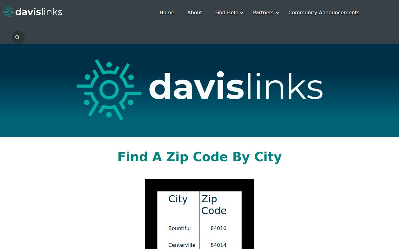
Use the county table as a place guide, then verify an exact address in the parcel and postal systems.
Davis ZIP Code Directory at Hill AFB
ZIP 84056 is tied to Hill Air Force Base, an institutional postal place rather than an incorporated municipality. That makes it a useful reminder that a ZIP code can describe a base or other special delivery area. A name or address associated with the ZIP should be checked against the parcel, city, county, and record type before it is used in a Davis resident search.
North Salt Lake’s 84054 also needs boundary care because the Davis and Salt Lake county line is nearby. Border examples such as 84044 and 84315 appear in ZIP-area references as partial or adjacent geography, not primary Davis city codes. Use exact USPS delivery validation and the county parcel map for a final address check.
Search Davis Residents by ZIP Code
The county property application confirms address and Parcel ID search, but the research does not document a public ZIP field. REDI-Web emphasizes serial, owner, situs, document number, Survey Index, Tie Sheets, and Township Reference. The Utah voter database includes full residential address, county, precinct, districts, party or unaffiliated status, active or inactive status, update date, and vote history; a delivered data file may be sorted by ZIP when standardized addresses are included, but the official page does not promise a public web ZIP search.
- Use the Utah ZIP list and Davis Links city-by-ZIP table to identify the postal area.
- Check the exact address in Davis Property Search; save the parcel ID, situs, legal description, and city.
- Use the official voter data route only within its fields and restrictions. At-risk records and sensitive data are withheld.
- Verify delivery geography with the postal service, then move from ZIP to street and parcel records.
Once a ZIP narrows the area, move to the Davis street directory for parcel-by-parcel work. Davis Links can search programs by keyword and ZIP, but it is not a resident roll.
Davis ZIP Codes Beyond City Limits
ZIP boundaries and Davis city limits answer different questions. The postal label helps delivery. The parcel situs identifies where land lies. A municipal boundary controls city planning and code records. County and school, water, fire, sewer, and recreation districts can follow still other lines. Around North Salt Lake, South Weber, Hill Air Force Base, and the shared 84015 area, retain every field instead of replacing the legal city with the postal city.
- ZIP vs ZIP+4
- A five-digit delivery area versus a more precise add-on used for sorting mail.
- PO Box ZIP
- A postal code used for box service; it does not locate a home parcel.
- Unique ZIP
- A code assigned to one institution or organization rather than a normal residential area.
- Carrier route
- A postal delivery path within a ZIP, not a city or county boundary.
Davis PO Box ZIP Codes
ZIP 84011 is listed with Bountiful, while 84016 and 84089 are listed with Clearfield in Utah ZIP-area references. These codes help describe postal service but should not be read as ordinary residential parcel areas. A PO Box ZIP points to a delivery arrangement. It does not prove where a person lives, where land lies, or which municipality controls a permit.
When a name or mail record supplies one of these codes, use the exact street address or parcel to resolve the place. The county application can return Parcel ID and Legal Description from an address. If there is no street address, keep the result labeled as a postal clue and do not convert it into a household claim.
Davis ZIP Code Directory Border Checks
Layton uses both 84040 and 84041, including East Layton associations. North Salt Lake’s 84054 needs a parcel check near the Davis and Salt Lake county line. South Weber is associated with 84405, whose postal city is Ogden. Border or partial references such as 84044 near the Magna and Great Salt Lake region and 84315 near the Hooper or Weber border should not be counted as primary Davis city codes without an exact-address check.
These examples show why a Davis ZIP code directory should preserve postal city and legal jurisdiction side by side. A county map, deed legal description, city planning office, and postal lookup may each use a different boundary. The disagreement is a signal to inspect the parcel, not a reason to choose one label by guess.
Davis ZIP Code Search Results
A ZIP is a useful narrowing field only when the underlying record actually includes one. The Davis Links service directory supports keyword and ZIP searches for local programs. The voter data request can include a complete residential address, county, precinct, district, party or unaffiliated status, active or inactive status, update date, and vote history. A delivered file may be sorted by ZIP, but Utah does not document a public web screen that lists every registered voter in a ZIP.
Property Search and REDI-Web do not advertise ZIP as a core field. They rely on address, parcel, owner, document number, survey, tie-sheet, and township routes. Search the ZIP first for geography, then use the exact address to obtain the parcel serial. This keeps a postal area from being mistaken for a record index.
| Postal clue | Delivery area or PO Box association. |
|---|---|
| Parcel result | Owner, situs, Parcel ID, Legal Description, boundary, and tax link. |
| Voter result | Public registration fields, subject to protected and at-risk rules. |
| Service result | Program or organization listing, not an individual resident. |
Verify the Davis ZIP Code Directory
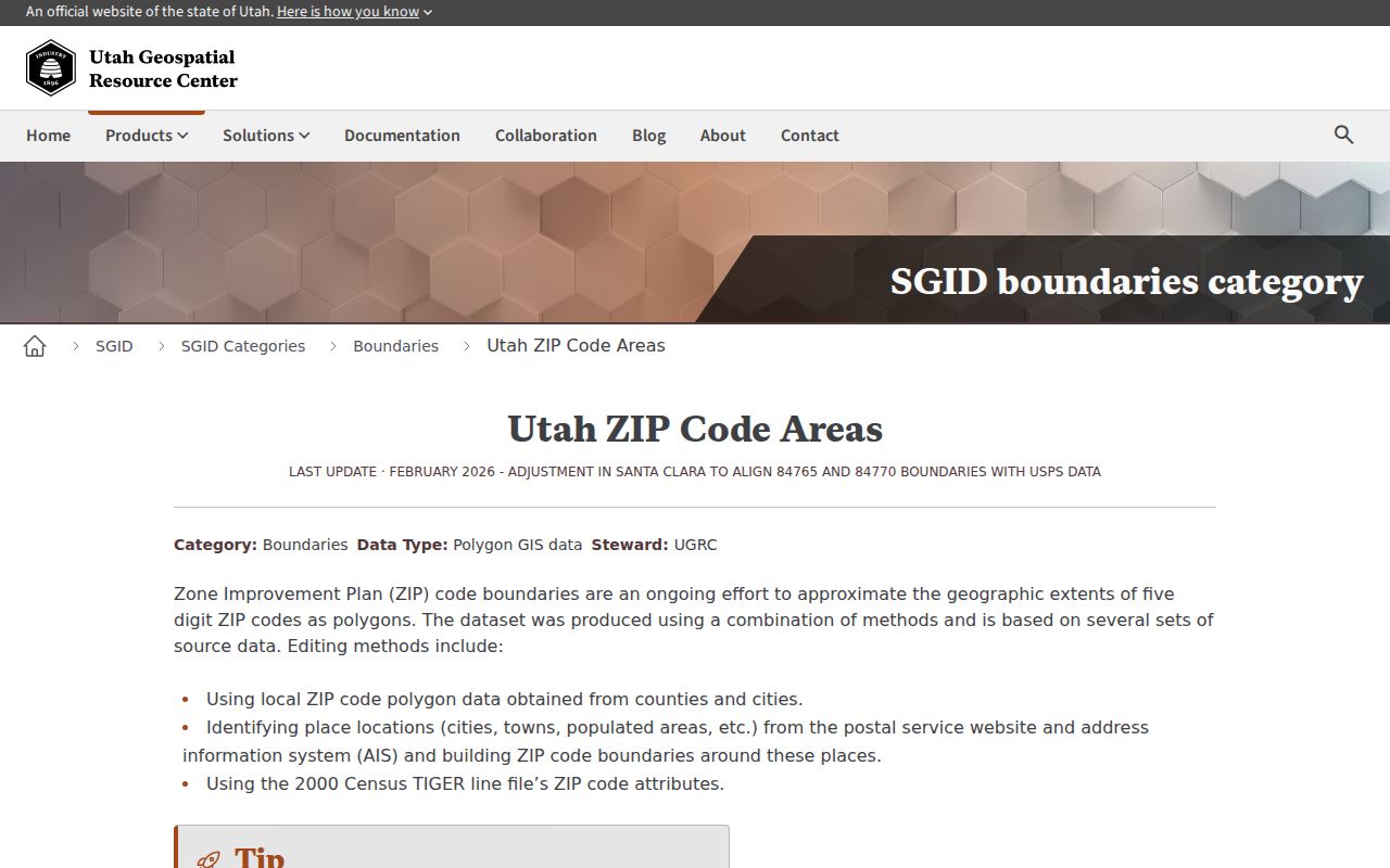
Utah’s ZIP boundary dataset describes approximate polygons and records a Davis boundary improvement in April 2022. An improved polygon still does not replace USPS delivery validation or the county parcel map. Recheck a portal, ZIP list, city table, or voter data request before using it for a current lookup because time-sensitive records and access rules can change.
Note: A postal city, incorporated city, county, school district, and parcel situs may all be different fields for the same Davis address.
Keep Davis ZIP Data Dated
A ZIP list can change in presentation even when the parcel does not. Davis Links, Utah’s secure ZIP list, the state GIS polygons, the county property application, and USPS delivery tools serve separate purposes. Save the source name, date accessed, postal city, legal city, county, and parcel ID. That small record note makes later updates easier to spot.
For a current person search, use a ZIP only to narrow geography. Verify the exact address, then use the county parcel, Recorder, voter, court, or library route that fits the question. The postal code should never be the only identity anchor.
That rule is especially important for 84056, where the institutional postal place does not function like a normal city neighborhood. A ZIP can sort mail well and still say little about the legal location of a parcel or the identity of a resident.